


Sayacmarca on the Inca Trail
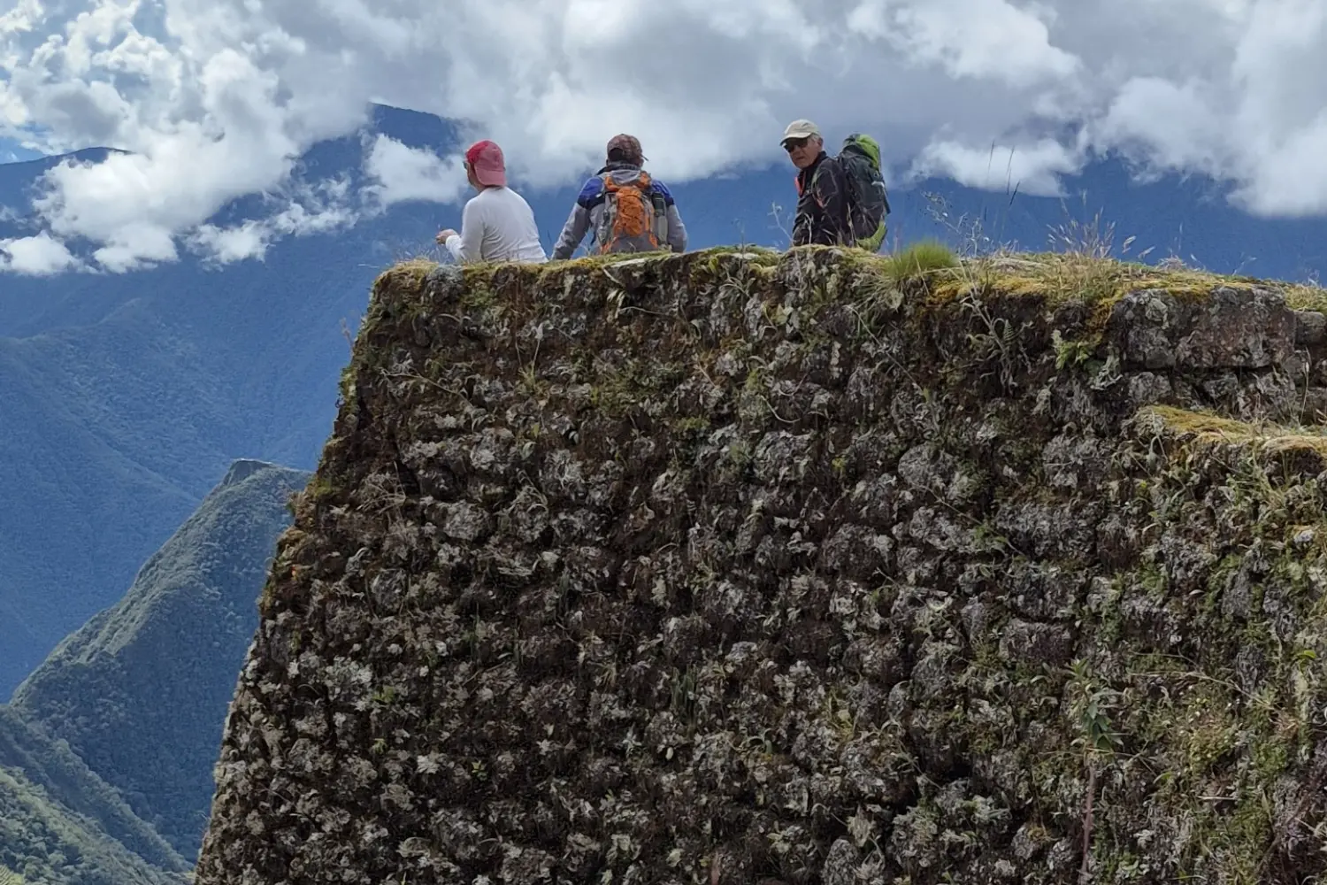
Sayacmarca is one of the most impressive archaeological sites on the Inca Trail. It can only be visited through the classic 4-day trek, usually during the second or third day of the hike, after crossing the Warmiwañusqa pass.
This site stands out for its strategic location within the Qhapaq Ñan. Due to the preservation of the route, access is only on foot, just as the Incas once traveled.
It features complex architecture with narrow streets, enclosures, plazas, water channels, and walls with niches and recesses, as well as trapezoidal doorways. Everything is built on steep terrain, perfectly adapting to the mountain slope.
It is believed to have served urban, ceremonial, and control functions within the Inca road network.
What is Sayacmarca?
Sayacmarca is an Inca archaeological site located along the Inca Trail to Machu Picchu. It consists of a group of structures distributed across different levels, connected by stairways and passageways.
Its design reflects advanced planning adapted to a mountainous environment with difficult access.
Meaning of the name Sayacmarca
The name comes from Quechua:
- “Sayaq”: standing or elevated
- “Marka”: town or settlement
It is interpreted as “elevated town” or “inaccessible settlement”.
Strategic importance within the Inca Trail
Sayacmarca served a strategic function as a control and surveillance point along the Inca Trail. Its elevated location allowed it to monitor movement along the route.
It may have also had ceremonial and residential functions, possibly linked to the Inca elite.
Location of Sayacmarca
Altitude and natural environment
It is located at approximately 3,600 meters above sea level, in a mountainous area surrounded by cloud forest vegetation.
Its architecture blends into the landscape through vertical constructions adapted to the slopes.
Access to the archaeological site from the trail
Access to Sayacmarca is exclusive to the 4-day Inca Trail; there is no entry via any other route.
History of Sayacmarca
Sayacmarca is an Inca site from the 15th century, likely built during the reign of Pachacútec. It was part of the Qhapaq Ñan network and served control, administrative, and ceremonial functions.
It was documented during Hiram Bingham’s expeditions in the early 20th century.
It is located near the confluence of the Aobamba and Urubamba valleys, giving it a strategic position.
Possible ceremonial and administrative function
Sayacmarca is believed to have functioned as:
- A control point on the route to Machu Picchu
- An administrative center
- A ceremonial space linked to religious practices
Relationship with other Inca Trail sites
Sayacmarca is part of the Inca road system and is connected with other important sites such as:
- Runkurakay
- Phuyupatamarca
All integrated within the Qhapaq Ñan.
Architecture of Sayacmarca
The site features residential and religious structures, many of them associated with the Inca elite.
Its layout is irregular and adapted to the terrain, with buildings located almost at the edge of cliffs.
Narrow streets, stairways, and plazas
It includes narrow streets, stairways, plazas, and structures distributed across different levels, connected through a functional design adapted to the mountain.
Drainage systems and urban planning
It features an efficient hydraulic system with water channels that supplied the structures and prevented rainwater accumulation.
What to see at Sayacmarca during the Inca Trail
Temples, terraces, and Inca structures
Visitors can observe ceremonial structures, residential areas, and terraces. Access is through narrow paths and stairways.
Panoramic views of the valley and mountains
From Sayacmarca, there are privileged views of the Aobamba Valley and part of the Urubamba Valley.


